CRISISGRID

AUTONOMOUS DISASTER TRIAGE - INFRASTRUCTURE ASSESSMENT - EMERGENCY DISPATCH

BACKEND: CHECKING...
MODEL_API_KEY: -
API: api.meta.ai/v1 - ONLY INFERENCE PROVIDER
SAM-3.1 SEGMENTMUSE-VOICE-TRANSCRIBE-1.0MUSE-SPARK-1.3 TRIAGEPYTHON VERIFIER - ONLY GREEN SOURCEMUSE-WONDER-1.0 DISPATCHMUSE-IMAGE-1.0 BRIEFING
MISSION CONTROLAUTONOMOUS PIPELINE
DROP DISASTER IMAGE HERE — OR SELECT A TEST IMAGE BELOWaerial / drone / street - JPG or PNG
SELECT TEST DISASTER IMAGE (9/9 SCENES — FLOOD · EARTHQUAKE · LANDSLIDE · CYCLONE · TORNADO · WILDFIRE)
Urban Flood Corridor
FLOOD WAV
Urban Flood CorridorKathmandu Valley, Nepal
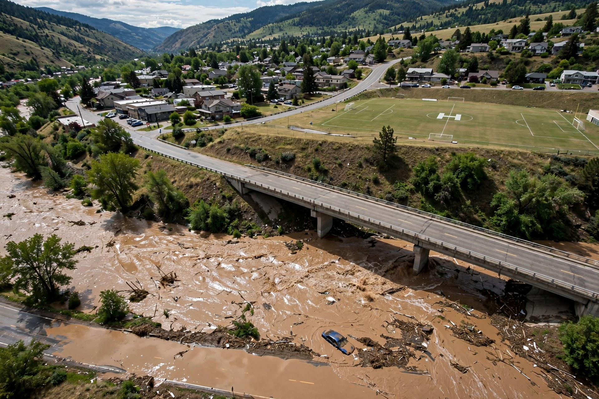
River Flash Flood & Overpass
FLOOD WAV
River Flash Flood & OverpassSylhet Basin, Bangladesh
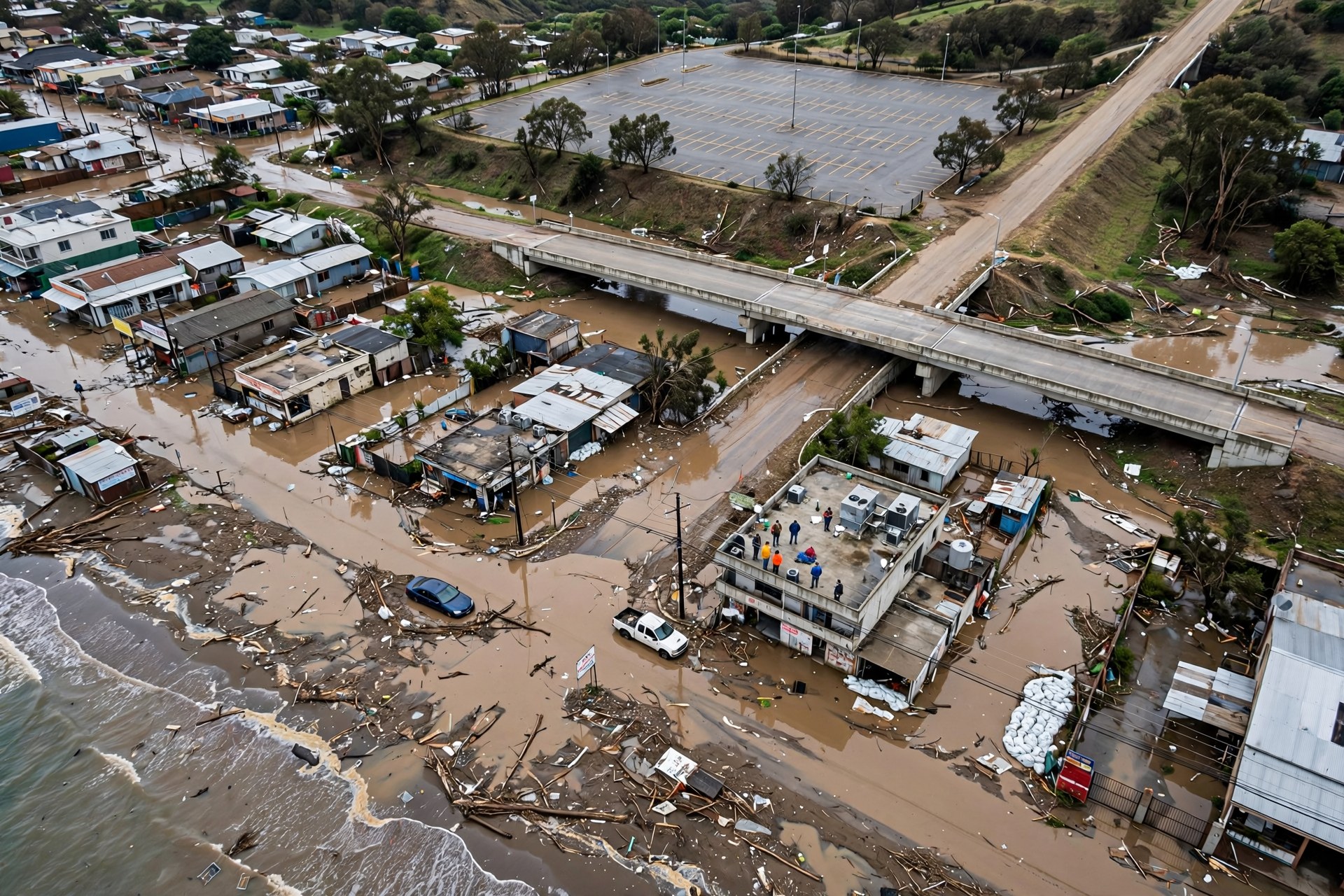
Coastal Storm Surge & Causeway
CYCLONE
Coastal Storm Surge & CausewayOdisha Coast, India
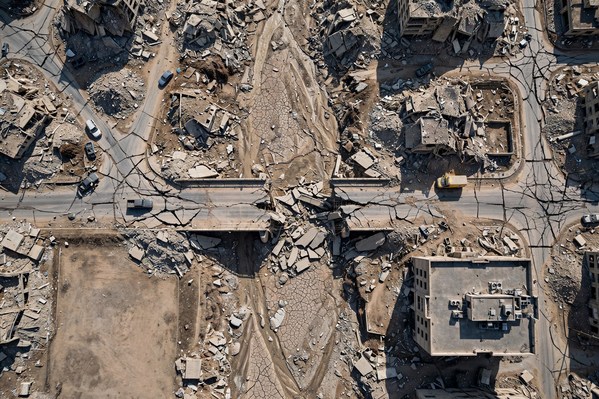
Earthquake Bridge & Rubble
EARTHQUAKE
Earthquake Bridge & RubbleIzmir Province, Turkey
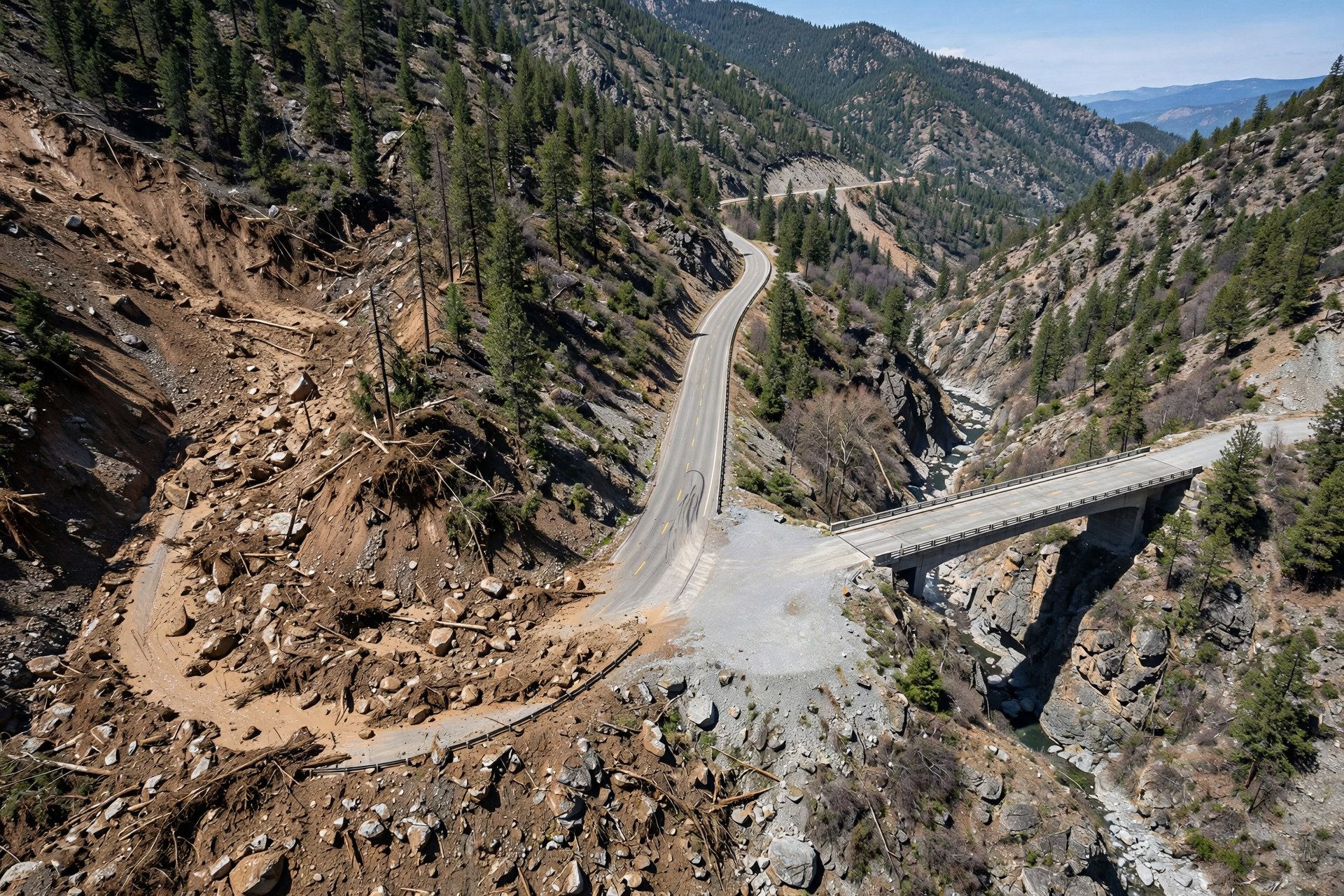
Mountain Landslide & Gorge Bridge
LANDSLIDE
Mountain Landslide & Gorge BridgePokhara Highway, Nepal
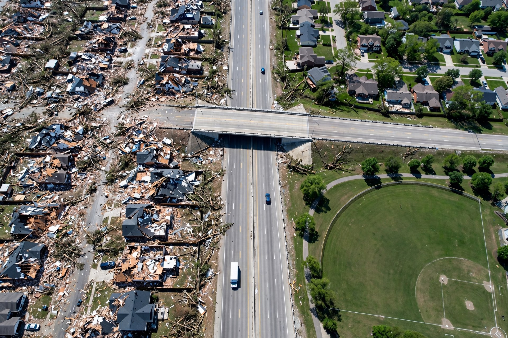
Tornado Debris & Arterial Road
TORNADO
Tornado Debris & Arterial RoadMoore, Oklahoma, USA
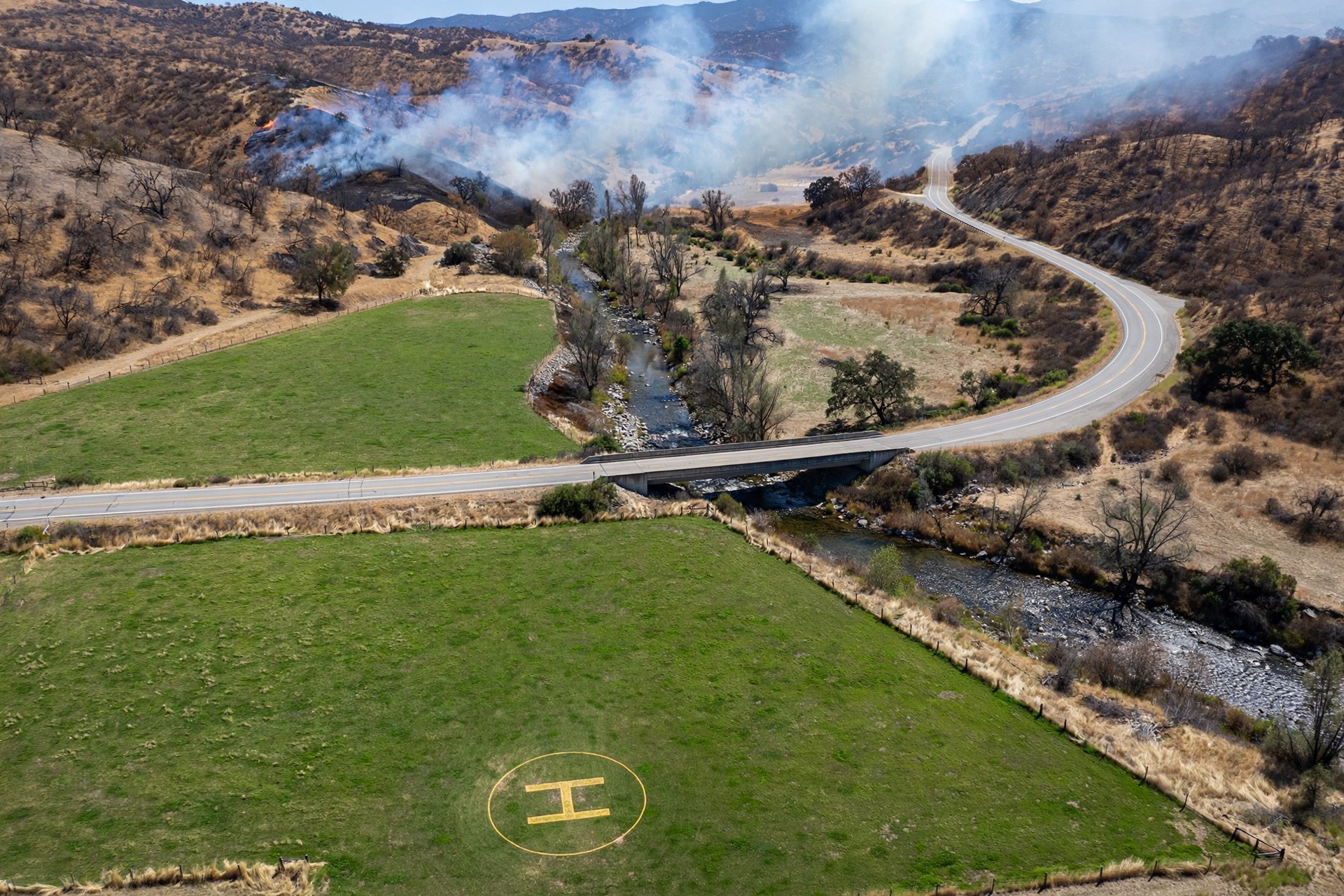
Wildfire Front & Helipad Meadow
WILDFIRE
Wildfire Front & Helipad MeadowSierra Nevada, California, USA
Valley Brush Fire & Creek Bridge
WILDFIRE
Valley Brush Fire & Creek BridgeValparaíso Hills, Chile
Post-Clearance Corridor (After Frame)
POST-CLEARANCE
Post-Clearance Corridor (After Frame)Izmir Province, Turkey (Cleared)
1 SCAN: IDLE2 TRIAGE: IDLE3 VERIFY: IDLE4 DISPATCH: IDLE
TACTICAL MAP - SAM-3.1 OVERLAYAWAITING SCAN
Click any box, corridor line, or landing-zone circle to inspect it.
PASSABLE / VERIFIED HAZARD / REJECTED UNVERIFIED PROPOSAL
OVERLAY LAYERS9/9 CONCEPTS

CRITICAL HAZARDS (RED)

PASSABLE INFRASTRUCTURE (GREEN)

CANDIDATES (VERIFIER COLOURS THEM)

VERIFIABLE AGENT TRACE0 EVENTS

No events yet. Run SCAN, TRIAGE, VERIFY or the full pipeline - every model proposal, deterministic proof, rejection and forced re-route will appear here with its reason. Only events marked VERIFIED are safe to act on.

Trust rule: green VERIFIED events come only from deterministic local Python (verifiable_corridor_engine.py). Yellow = unverified model proposal. Red = rejected with geometric evidence.

DISPATCH ACTION CONSOLE — muse-wonder-1.0NOT ARMED

Locked until STEP 3 verifies at least one corridor or landing zone. Wonder receives verified candidates only; rejected IDs are listed as excluded and can never receive a unit.

GLOBAL DISASTER SCENARIOS — 1-CLICK TACTICAL PRESETSBUILT-IN CATALOGUE

Each preset loads real pipeline inputs only (imagery + emergency radio audio or field report). Nothing is pre-baked: sam-3.1 segments live, Spark proposes, deterministic Python verifies, and Wonder dispatches only on verified geometry. Generated demo scenes are labelled as such.

Urban Flood Corridor preset scene
URBAN FLOOD CORRIDORFLOOD

Flooded urban corridor: water over low roads, residents on rooftops, one possibly passable bridge. Find a verified evacuation corridor and a high-ground landing zone.

Focus: flood water, road, bridge, rooftop, stranded vehicle

Tactical focus: Watch the first Spark corridor get rejected if it crosses flood water, then re-routed and verified before Wonder dispatches.

Pre-loaded aerial flood demo frame (live-flood.jpg). Segmentation and geometric verification run live on click - nothing is pre-baked. Includes field-radio WAV.

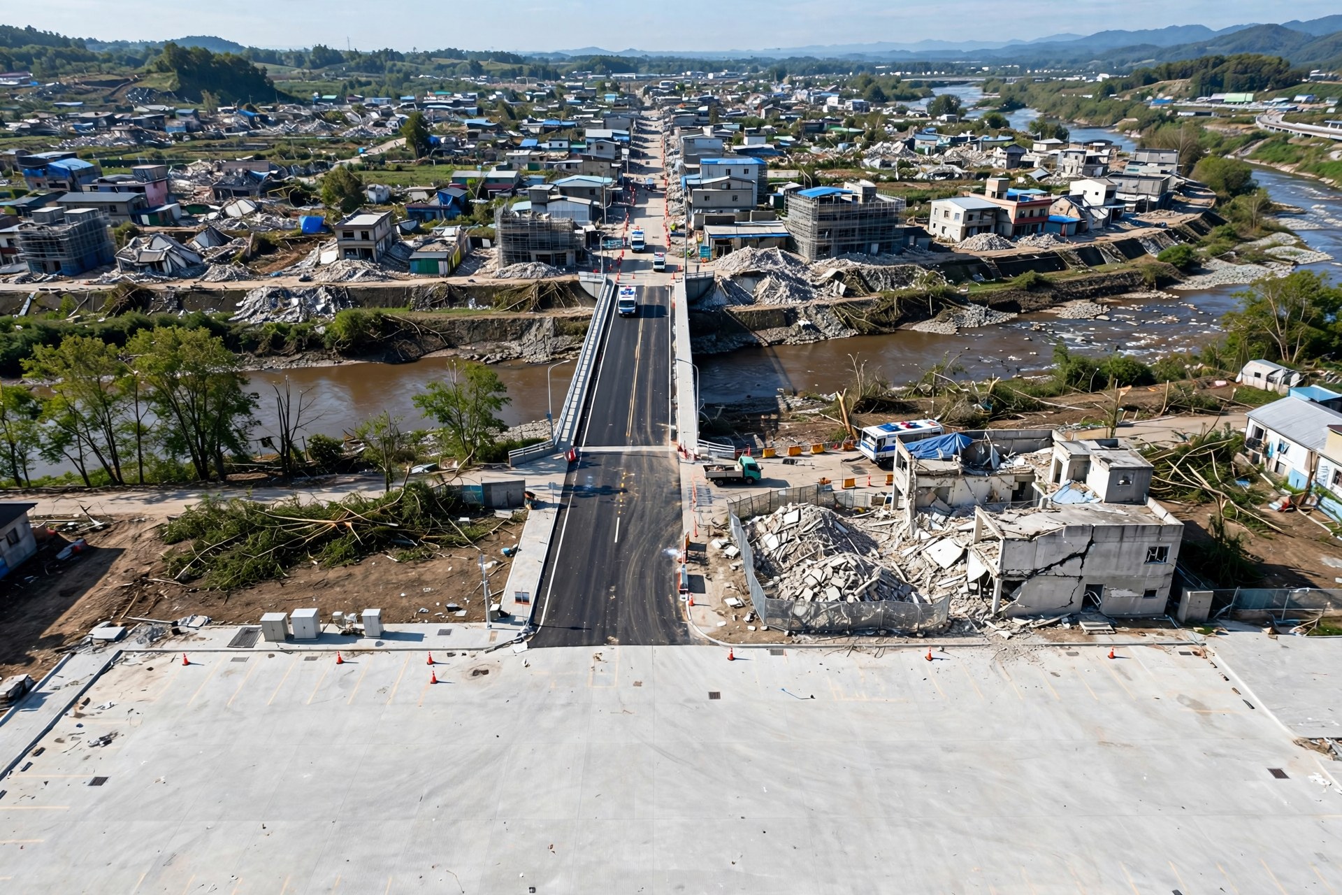
Earthquake Bridge & Rubble Triage preset scene
EARTHQUAKE BRIDGE & RUBBLE TRIAGEEARTHQUAKE

Earthquake-damaged district: cracked, partly collapsed bridge, rubble-blocked streets, damaged buildings. Prioritise debris clearance, medical access and a flat landing zone.

Focus: debris, damaged building, bridge, clear flat ground, road

Tactical focus: Check whether the bridge segments as passable or damaged, and whether the verifier keeps corridors off the rubble.

Synthetic tactical scenario generated with muse-image-1.0. Hazard claims come from live sam-3.1 at click time. Text report fallback.

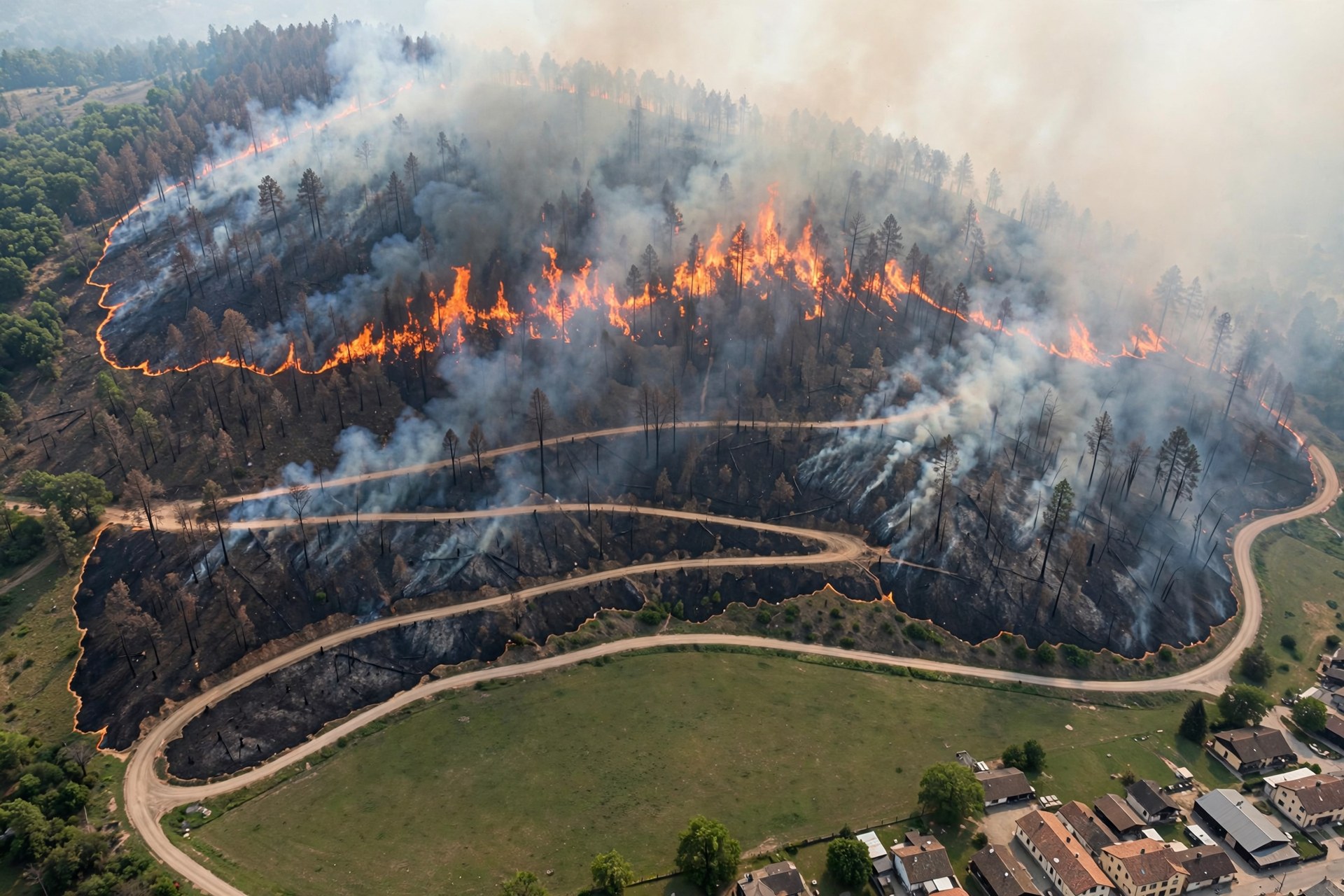
Wildfire Evacuation & Helipad Finder preset scene
WILDFIRE EVACUATION & HELIPAD FINDERWILDFIRE

Wildfire front approaching a rural town: fire and scorched ground on the ridge, one winding evacuation road, open field for a helipad. Verify an evacuation corridor away from the fire line.

Focus: fire, road, clear flat ground, rooftop, debris

Tactical focus: The landing zone must clear the fire detections with real clearance area - watch the clearance numbers in the trace.

Synthetic tactical scenario generated with muse-image-1.0. Hazard claims come from live sam-3.1 at click time. Text report fallback.

LIVE USGS SEISMIC TELEMETRY (earthquake.usgs.gov · 0 MODEL CALLS)

Pull real-time global earthquakes from the official USGS GeoJSON feed and inject their live epicenter coordinates (for OpenStreetMap Overpass hospital/shelter lookup) and sensor telemetry into Mission Control.

BEFORE / AFTER DAMAGE DELTA & POST-CLEARANCE RE-VERIFIERDETERMINISTIC ENGINE · 0 MODEL CALLS IN DELTA

BEFORE = the initial disaster scan on the tactical map. AFTER = post-clearance or post-aftershock frame. Computing the delta highlights changed hazards; a blocked route flips from REJECTED → VERIFIED only when the deterministic geometry verifier passes on the AFTER scan.

1-CLICK POST-CLEARANCE DEMO PAIR: Earthquake Bridge Rubble (earthquake-bridge.jpg) → Post-Clearance Re-Opened Bridge (earthquake-bridge-cleared.jpg)
no after image
MULTI-SECTOR TRIAGEDETERMINISTIC PRIORITY MATRIX

Save each scanned sector, then rank all sectors for dispatch priority. Score = urgency x0.40 + severity (max 25) + people (max 15) + hazard footprint (max 10) + access pressure (max 10). Ranking orders work - dispatch still requires geometrically verified candidates in that sector.

No sectors saved yet. Run scan/triage/verify on the map above, name it, and save it here.